Explore Latvia’s forests in one clear, map-first experience
Mežakarte brings together public places, trails, community spots, and safety context so visitors can quickly understand where to go, what to inspect, and how to continue a route in the map.
- One map for forest layers, trails, spots, and safety information.
- Create your own routes or continue into the map to generate and adjust the next ride or hike.
- See public places, trails, and selected image-backed content straight from the homepage.
Map preview
Move from homepage to map without friction
 Forest layersRoutesPlaces and spots
The homepage, directories, and detail pages now lead into the same main map. You can move from featured content into layers, places, trails, and route planning without the feeling of opening a separate product.
A live overview of published content and community activity.
Public areas only show safe, aggregated signals: how many places are available, how active the community is, and how many hikes are already published.
Route planning in the map
Route planning starts in the map: open a place or trail, add points, connect them into a route, generate a suitable path, and save the result for later use.
Public, approximate, or private
The public catalog only shows safe visibility levels. Exact coordinates may be public, approximate, or restricted to the author and unlocked users.
From catalog to map without friction
Browse places and trails, pick the one that matters, and continue straight into the main map with the relevant context already prepared.
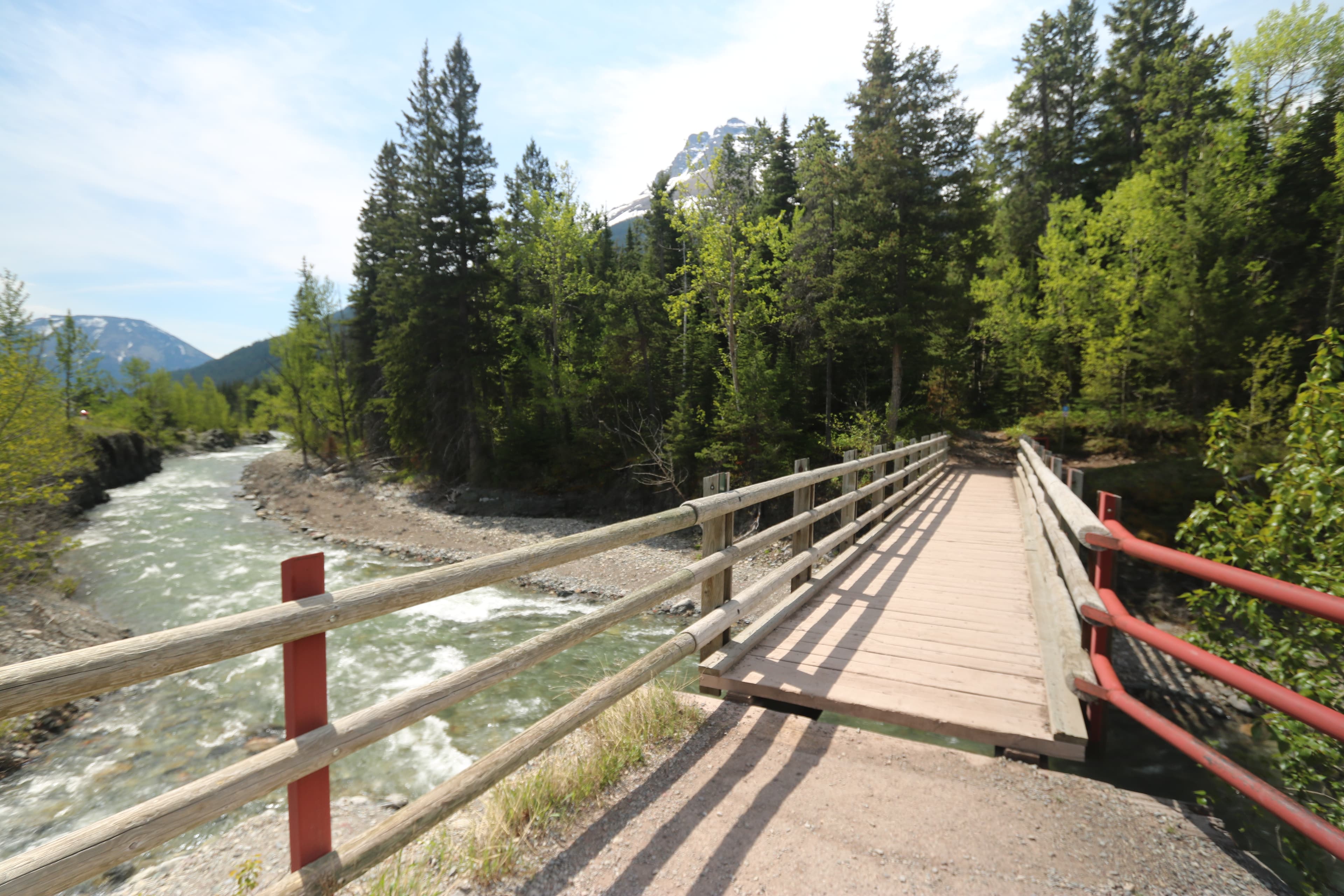
Start with real places, trails, and hikes
The homepage can now surface selected image-backed content first, so visitors can compare real options before opening the full detail view.
Featured hikes
Hikes with images and a clear starting point
Featured places
Places worth opening next

Pie Varkaļu kanāla
Blakus ir līdzīga vieta, skaists skats pāri upei uz Majoriem un Dubultiem.
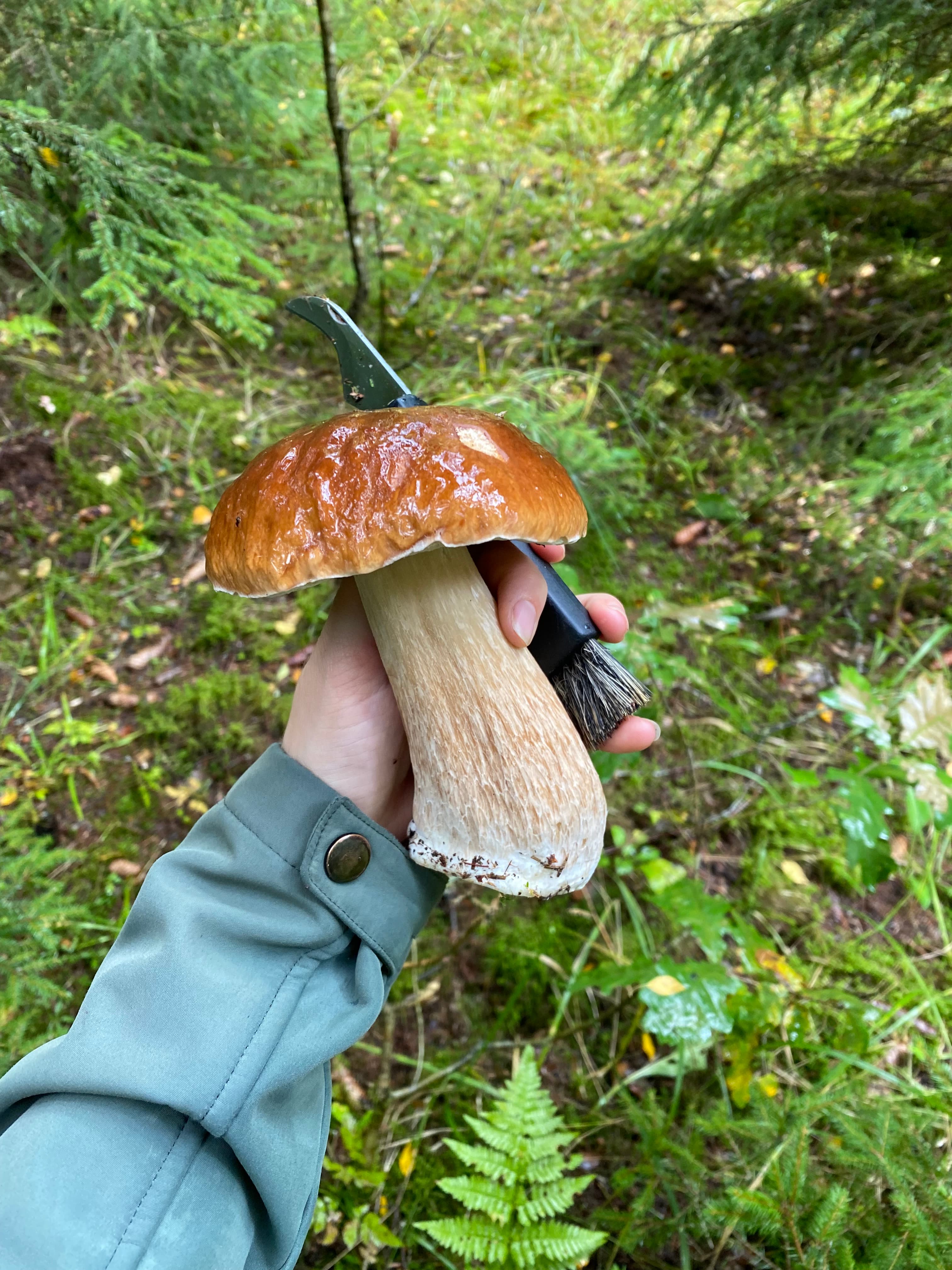
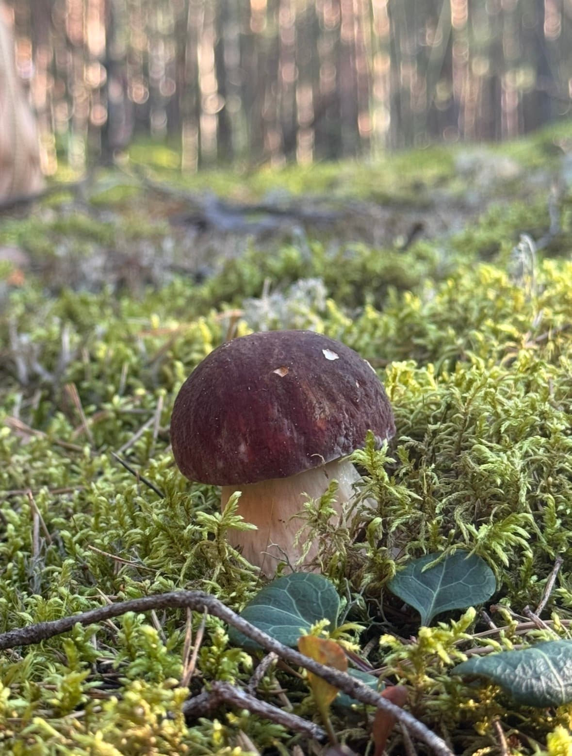
Baravikas Vārnukroga mežā
2025. gada rudens. Daudz sēņu nebija, bet vairākos piegājienos 5-7 atradu. Ļoti daudz dzīslkātu bekas.
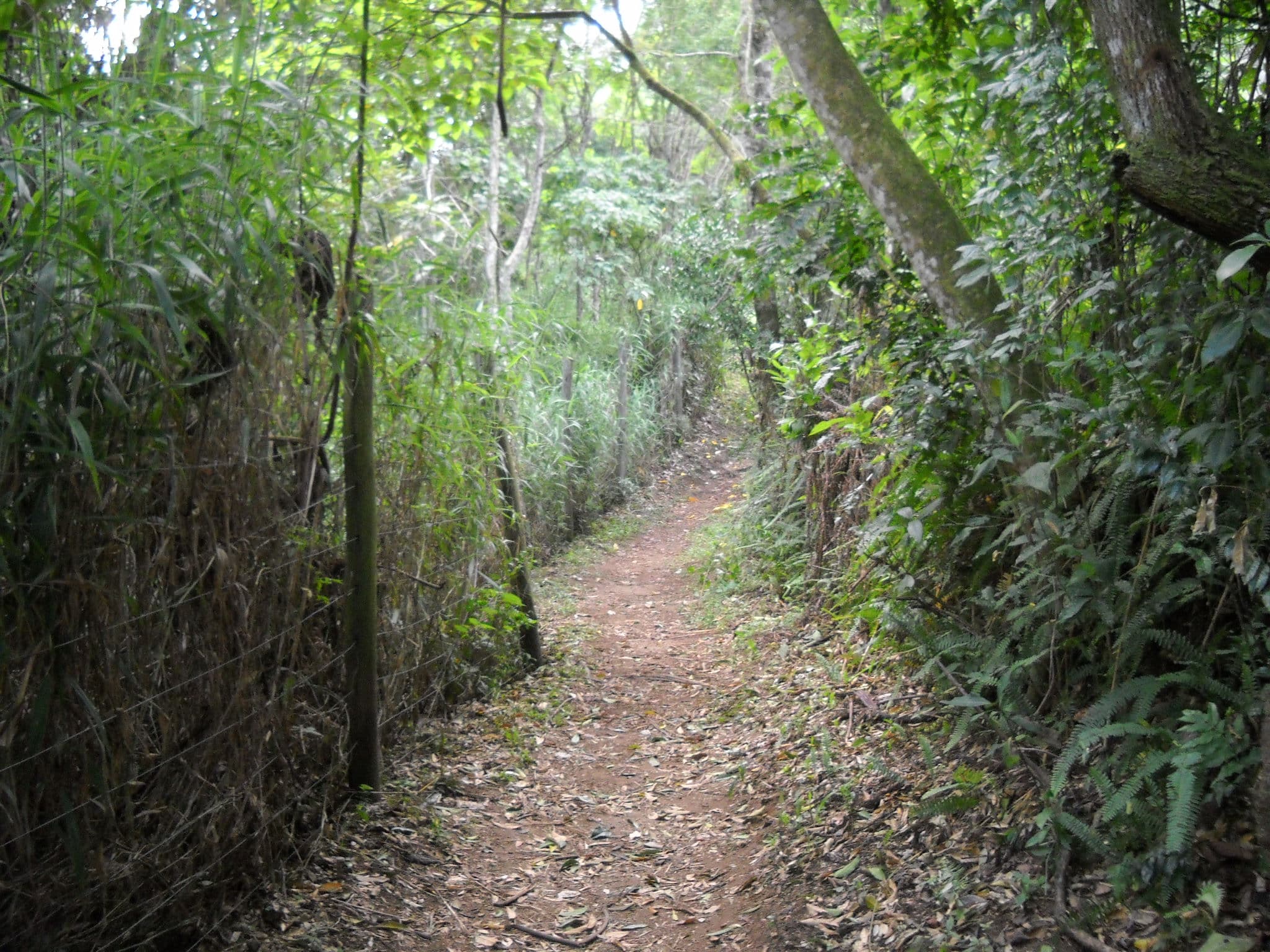
Featured trails
Trails to compare before switching to the map